For fun, I collected some GPS data from the takeoff and landing of my most recent flight home. I used the now defunct Xtrail app to save GPS data from my iPhone to a GPX file, which I then opened with Google Earth.
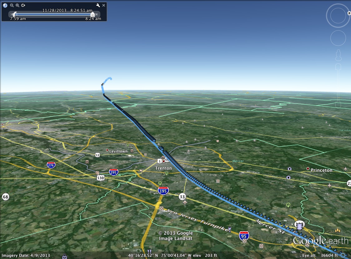
Takeoff from New York JFK
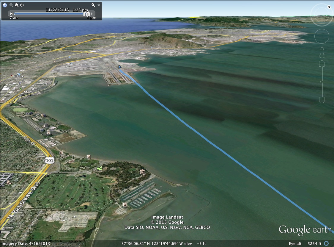
Landing at San Francisco. The data got messed up in the middle because Xtrail kept crashing. Fortunately, it’s not very noticeable from this perspective.
You can then run the flight simulator to see how well you can follow the line!
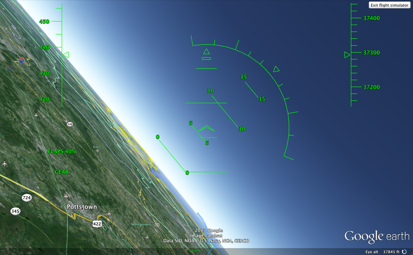
Hint: I suck.
There are a couple tricks to make this work better:
- Get the window seat.
- Make sure your iPhone starts getting a GPS lock long before you need to use the data. It can take awhile in some planes.
- If you don’t get GPS data continuously during your flight, you’ll have to wait until you have cell reception at about 20,000 feet before you can log data again.
- When Google Earth asks to map your GPX file’s coordinates to the altitude of the terrain, just say no.